*Light Snowfall in Upper Reaches, Rain Persists in Plains as Weather System Strengthens*
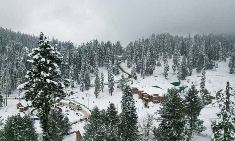
Srinagar,Dec 21 Fresh weather activity began early this morning across Jammu and Kashmir, with higher reaches witnessing light snowfall while the plains remained under intermittent rain. Gulmarg and Sonamarg recorded nearly one to two inches of fresh snow, adding a thin white layer over the slopes. Sadhna Top in north Kashmir saw around six inches of accumulation, indicating stronger cloud activity over the frontier mountains.
Plains across the Valley, including Srinagar, continued to receive light rain from the early hours. The precipitation kept temperatures in the lower range and added to the ongoing cold conditions.
Meteorological officials said the system is expected to strengthen through the day, increasing the likelihood of more widespread rain and snow. The MeT office added that the precipitation will primarily remain rainfall in the plains. However, if showers persist into late afternoon or evening, temperatures may dip sufficiently to allow snowfall at a few pockets even in low-lying areas. This possibility depends on whether the cloud cover thickens and sustains long enough to push temperatures downward.
Higher reaches are likely to receive a moderate spell of snowfall as the system peaks, particularly in the middle and upper belts of north, south and central Kashmir.
Authorities are monitoring the situation, though no major disruption has been reported so far.